About: London to Brighton Way Goto Sponge NotDistinct Permalink
An Entity of Type : yago:Whole100003553,
within Data Space : dbpedia.demo.openlinksw.com associated with source document(s)

![http://dbpedia.demo.openlinksw.com/describe/?url=http%3A%2F%2Fdbpedia.org%2Fresource%2FLondon_to_Brighton_Way&invfp=IFP_OFF&sas=SAME_AS_OFF]()

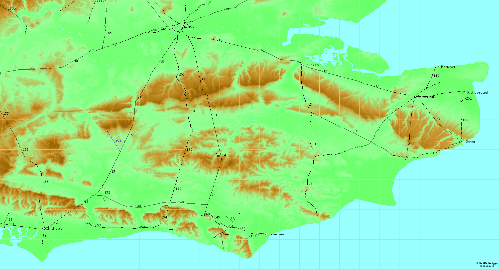
The London to Brighton Way, also called the London to Portslade Way, is a Roman road between Stane Street at Kennington Park and Brighton (or more specifically Portslade) in Sussex. The road passes through Streatham and Croydon, then through the Caterham Valley gap in the North Downs. It passes through Godstone and Felbridge, then follows an almost straight line through Ardingly, Haywards Heath, Burgess Hill and Hassocks to the South Downs at Clayton. At Hassocks it crosses the Sussex Greensand Way at a large Roman cemetery. It climbs the South Downs escarpment, crossing the ridgeway and connecting with other local tracks. South of Pyecombe the route is uncertain, and may have continued to Brighton or to Portslade.
Faceted Search & Find service v1.17_git139 as of Feb 29 2024


![[RDF Data]](/fct/images/sw-rdf-blue.png)

OpenLink Virtuoso version 08.03.3330 as of Mar 19 2024, on Linux (x86_64-generic-linux-glibc212), Single-Server Edition (378 GB total memory, 59 GB memory in use)
Data on this page belongs to its respective rights holders.
Virtuoso Faceted Browser Copyright © 2009-2024 OpenLink Software


![[RDF Data]](/fct/images/sw-rdf-blue.png)
OpenLink Virtuoso version 08.03.3330 as of Mar 19 2024, on Linux (x86_64-generic-linux-glibc212), Single-Server Edition (378 GB total memory, 59 GB memory in use)
Data on this page belongs to its respective rights holders.
Virtuoso Faceted Browser Copyright © 2009-2024 OpenLink Software


![[cxml]](/fct/images/cxml_doc.png)
![[csv]](/fct/images/csv_doc.png)
![[text]](/fct/images/ntriples_doc.png)
![[turtle]](/fct/images/n3turtle_doc.png)
![[ld+json]](/fct/images/jsonld_doc.png)
![[rdf+json]](/fct/images/json_doc.png)
![[rdf+xml]](/fct/images/xml_doc.png)
![[atom+xml]](/fct/images/atom_doc.png)
![[html]](/fct/images/html_doc.png)