About: Quinta de los molinos Goto Sponge NotDistinct Permalink
An Entity of Type : dbo:Building,
within Data Space : dbpedia.demo.openlinksw.com associated with source document(s)

![http://dbpedia.demo.openlinksw.com/describe/?url=http%3A%2F%2Fdbpedia.org%2Fresource%2FQuinta_de_los_molinos&invfp=IFP_OFF&sas=SAME_AS_OFF]()

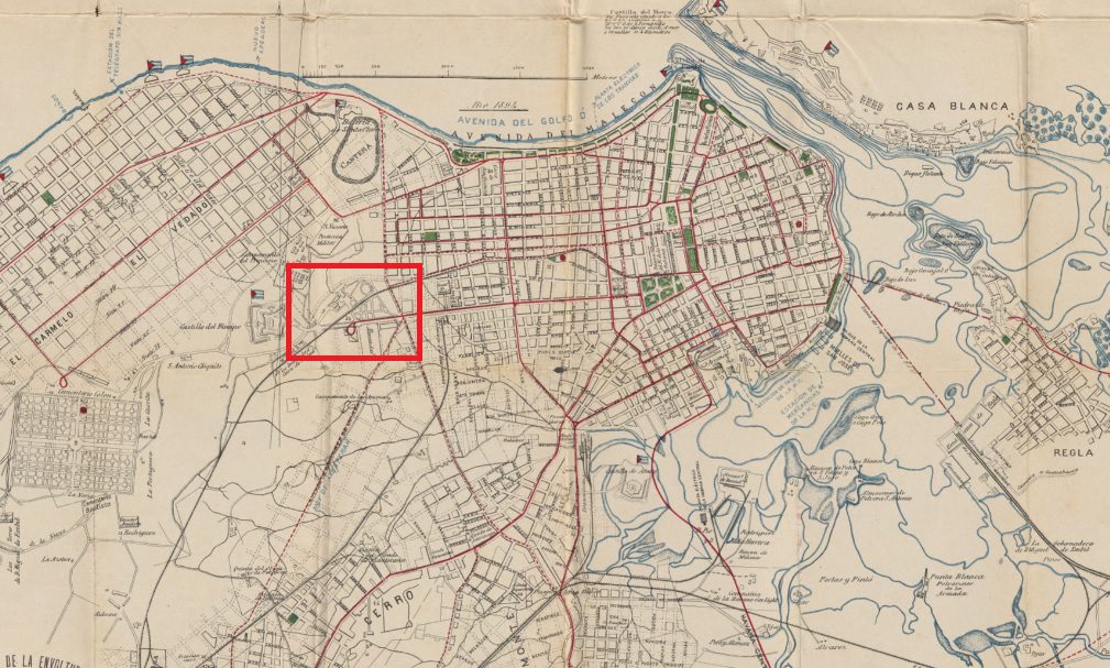
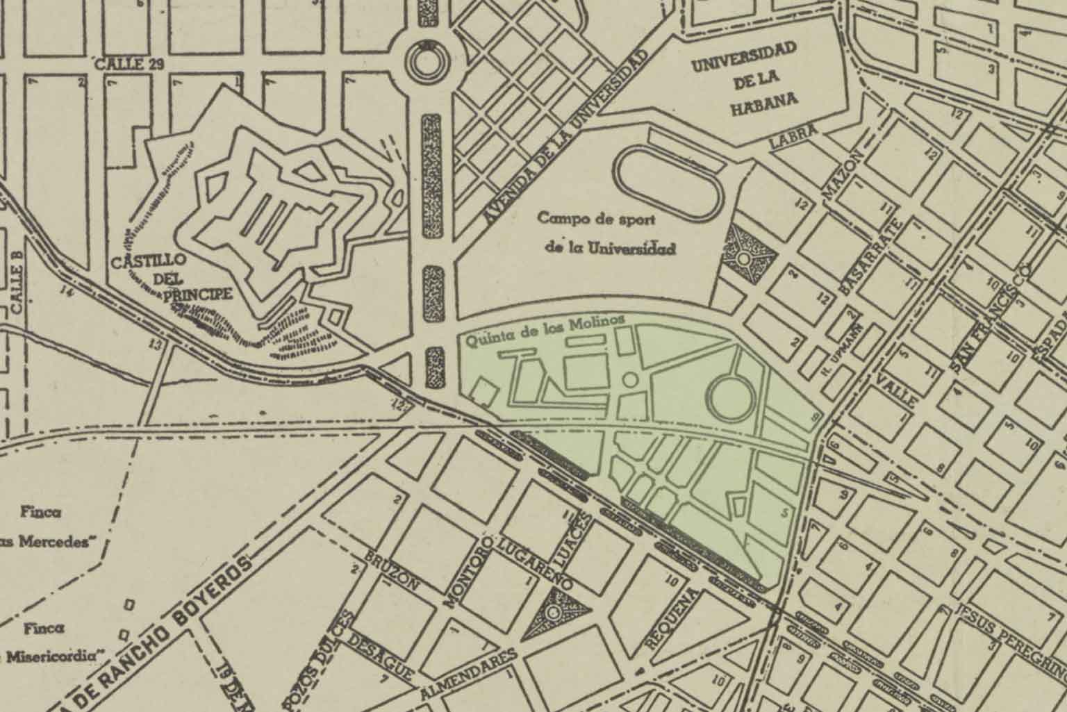
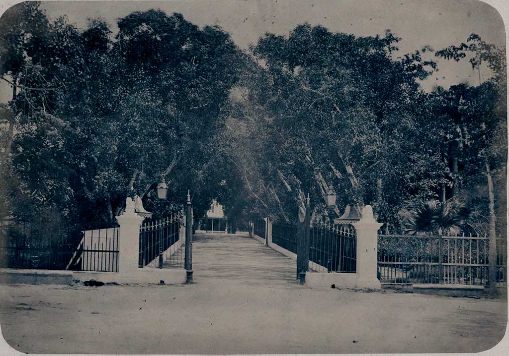
The Quinta de Los Molinos [1] is more than two centuries old and a national monument, an oasis in the heart of the city located at the intersection of one of Havana’s heaviest traffic arteries: Infanta, Carlos III, and Boyeros avenues. The Quinta since colonial times has had a complicated history to various events and characters, mainly with General Máximo Gómez. It is in the general vicinity of the Paseo de Tacón (Avenida Carlos III), the University of Havana, and the Castillo del Principe.[3]
| Attributes | Values |
|---|---|
| rdf:type | |
| rdfs:label |
|
| rdfs:comment |
|
| foaf:name |
|
| name |
|
| geo:lat |
|
| geo:long |
|
| foaf:depiction | |
| dcterms:subject | |
| Wikipage page ID |
|
| Wikipage revision ID |
|
| Link from a Wikipage to another Wikipage |
|
| Link from a Wikipage to an external page | |
| sameAs | |
| dbp:wikiPageUsesTemplate | |
| thumbnail | |
| architectural style | |
| building type |
|
| classification |
|
| current tenants |
|
| est completion |
|
| former names |
|
| location |
|
| location city |
|
| location country |
|
| mapframe-zoom |
|
| owner |
|
| georss:point |
|
| has abstract |
|
| prov:wasDerivedFrom | |
| page length (characters) of wiki page |
|
| classification |
|
| former name |
|
| architectural style | |
| city | |
| country | |
| foaf:isPrimaryTopicOf | |
| geo:geometry |
|
| is Link from a Wikipage to another Wikipage of |
Faceted Search & Find service v1.17_git139 as of Feb 29 2024


![[RDF Data]](/fct/images/sw-rdf-blue.png)

OpenLink Virtuoso version 08.03.3330 as of Mar 19 2024, on Linux (x86_64-generic-linux-glibc212), Single-Server Edition (378 GB total memory, 53 GB memory in use)
Data on this page belongs to its respective rights holders.
Virtuoso Faceted Browser Copyright © 2009-2024 OpenLink Software


![[RDF Data]](/fct/images/sw-rdf-blue.png)
OpenLink Virtuoso version 08.03.3330 as of Mar 19 2024, on Linux (x86_64-generic-linux-glibc212), Single-Server Edition (378 GB total memory, 53 GB memory in use)
Data on this page belongs to its respective rights holders.
Virtuoso Faceted Browser Copyright © 2009-2024 OpenLink Software


![[cxml]](/fct/images/cxml_doc.png)
![[csv]](/fct/images/csv_doc.png)
![[text]](/fct/images/ntriples_doc.png)
![[turtle]](/fct/images/n3turtle_doc.png)
![[ld+json]](/fct/images/jsonld_doc.png)
![[rdf+json]](/fct/images/json_doc.png)
![[rdf+xml]](/fct/images/xml_doc.png)
![[atom+xml]](/fct/images/atom_doc.png)
![[html]](/fct/images/html_doc.png)