About: Khirbet Zanuta Goto Sponge NotDistinct Permalink
An Entity of Type : yago:Village108672738,
within Data Space : dbpedia.demo.openlinksw.com associated with source document(s)

![http://dbpedia.demo.openlinksw.com/describe/?url=http%3A%2F%2Fdbpedia.org%2Fresource%2FKhirbet_Zanuta]()

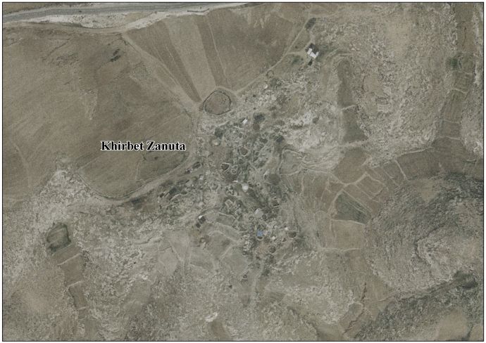
Khirbet Zanuta (Arabic: خربة زنوتا) is a Palestinian village in the Hebron Governorate in the southern West Bank, located 20 kilometers south of Hebron. Nearby localities include ad-Dhahiriya to the northwest and Khirbet Shweika to the northwest, as well as two Israeli settlements, Teneh Omarim to the west and Shim'a to the east. The Meitarim industrial zone just to its east was built for the settlers. The village is adjacent to the Green Line.
Faceted Search & Find service v1.17_git139 as of Feb 29 2024


![[RDF Data]](/fct/images/sw-rdf-blue.png)

OpenLink Virtuoso version 08.03.3330 as of Mar 19 2024, on Linux (x86_64-generic-linux-glibc212), Single-Server Edition (378 GB total memory, 53 GB memory in use)
Data on this page belongs to its respective rights holders.
Virtuoso Faceted Browser Copyright © 2009-2024 OpenLink Software


![[RDF Data]](/fct/images/sw-rdf-blue.png)
OpenLink Virtuoso version 08.03.3330 as of Mar 19 2024, on Linux (x86_64-generic-linux-glibc212), Single-Server Edition (378 GB total memory, 53 GB memory in use)
Data on this page belongs to its respective rights holders.
Virtuoso Faceted Browser Copyright © 2009-2024 OpenLink Software


![[cxml]](/fct/images/cxml_doc.png)
![[csv]](/fct/images/csv_doc.png)
![[text]](/fct/images/ntriples_doc.png)
![[turtle]](/fct/images/n3turtle_doc.png)
![[ld+json]](/fct/images/jsonld_doc.png)
![[rdf+json]](/fct/images/json_doc.png)
![[rdf+xml]](/fct/images/xml_doc.png)
![[atom+xml]](/fct/images/atom_doc.png)
![[html]](/fct/images/html_doc.png)